2010: The Initial Survey
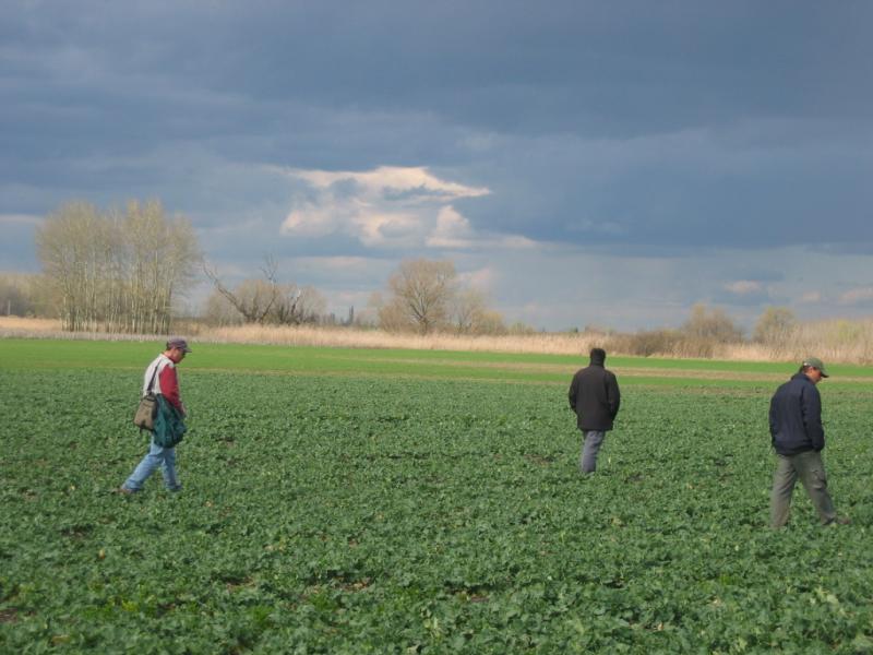
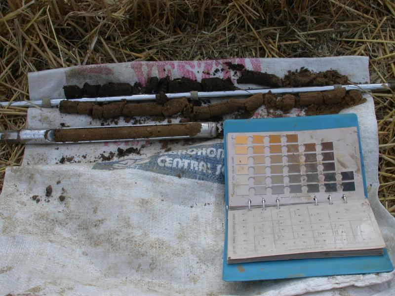
During the spring of 2010, Dr. Parkinson and his team conducted an intensive survey of the Szeghalom-Kovácshalom site using a number of non-invasive procedures. The team began by collecting artifacts lying on the surface of the ground; then they scanned the area with magnetometers to locate structures hidden beneath the soil. Next, they took core samples of the soil, and finally they used GPS to map the topography.
Preliminary Results
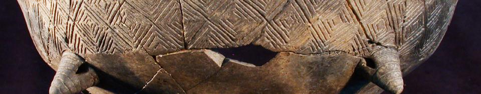
All of their investigative activities provided the team with clues as to the site’s size, structure, ecology, etc., and revealed a surprise—Szeghalom-Kovácshalom wasn’t the more-or-less isolated tell they’d expected. Instead, it was surrounded by individual longhouses and part of a much larger settlement. Plus, in addition to its walls and ditches, the tell was at one time also amply protected by streams that encircled the site, providing natural defense.
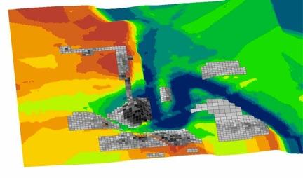
Constructing the Site Model
How did the team discover so much about Szeghalom-Kovácshalom's layout and design? By creating a many-layered model of the site based on the data they collected in the field:
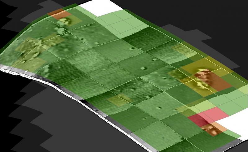
Artifact Density Map: First, the team charted and mapped concentrations of each type of find (ceramics, worked stone, etc.) to learn how people used different parts of the site.
Magnetometry Maps: Next, the team combined the magnetometry images they had created with their artifact density maps to confirm the locations and type/intensity of use for features like the longhouses and the larger settlement.
Soil Core Maps: The team also mapped out their samples of the soil chemistry to better determine site organization and length of occupation.
3D Topographical Maps: Finally, the team overlaid the various maps onto their 3D renderings of the topography to see the relationship between the terrain and the site's use.
Theories on Site Growth Over Time
Altogether, the various visualizations tools they used help Dr. Parkinson and his team develop theories and models of the natural and manmade processes at work that formed and shaped the site. The team can now envision two possible scenarios for the site’s development:
Scenario #1: The 21 isolated longhouses encircling the tell may predate the establishment of the tell itself, as well as the intensively occupied nearby settlement. In other words, perhaps longhouses were “stage one” in the settlement of a three-stage site evolution from longhouses, to settlement, to tell.
Scenario #2: The longhouses may date to the same time period as both the tell and the settlement, but represent special-purpose features (ritual spaces, field barns, etc.) at the edges of the settlement complex.
Armed with these new insights on the site’s scope, scale, and potential pattern of development, the team will use the data gathered in 2010 to strategize about where to excavate in the upcoming seasons.